Hiking Hummocks Trail
It is always a wonderful coincidence when you and your friends are in the same area at the same time when you are traveling. One of my good friends from college just so happened to be in the Seattle area when we arrive to Portland. After a quick text we decided to meet up and do one of our favorite things-hiking of course. Neither of us had been to Mt St Helens National Park so we met up at the trailhead of Hummocks Trail. Hummocks Trail is a very popular trail during the winter due to much of the park being closed because of snow. It supposedly features epic views of Mt St Helens on a clear day. Unfortunately, there was a thick layer of clouds covering the mountain range when we hiked. We still found the trail absolutely breathtaking and recommend it regardless of the weather.
Related Post: Moving from Indiana to Oregon
Trail Stats
- Distance: 2.4 miles
- Elevation: 100ft
- Difficulty: Easy
- Kid Friendly: Absolutely!
- When to Visit/Seasons: Year-round

Hiking the Hummocks
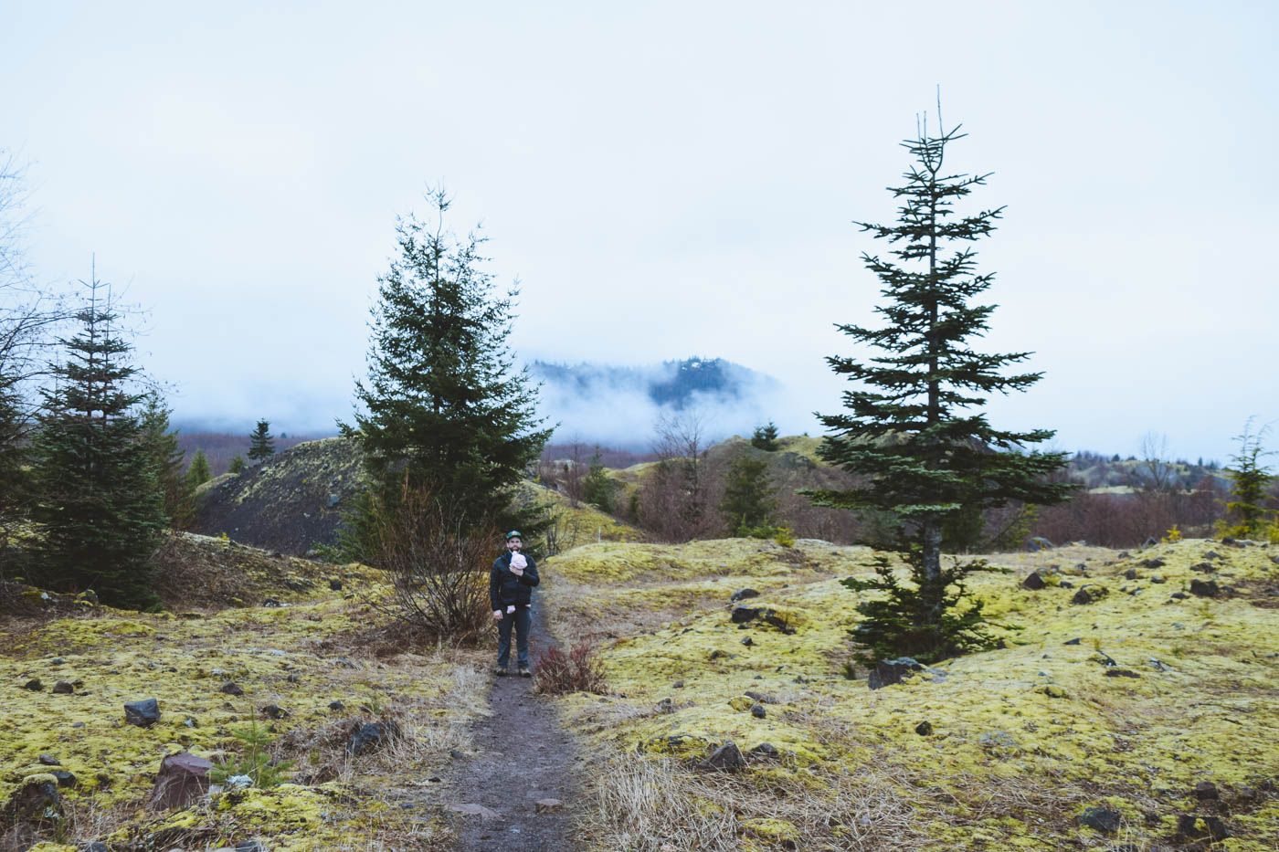
At the beginning to of hike you meander through a small forest which opens up to a vast open area covered in small hills. We learned from some park rangers that this area before us was what used to be part of the top of Mt St Helens before the 1980 eruption. Looking at how far this landscape spread before us was mind blowing to think we were standing on what used to be the top of a volcano.


The small hills and fallen trees are covered in a blanket of lichen that is stunning. Small still ponds dot the landscape creating a dramatic effect. A large gorge cuts through the ground between Hummocks Trail and Mt St Helens. The North Fork Toutle River runs through here. There is typically a great view point of My St Helen at the edge of this gorge. The clouds were blocking the mountain from view, but the spot was still beautiful.


Eventually the trail leads to a wetland area through a forest of thin trees. A trickling spring runs along the trail creating a lovely melody to hike to. There is a larger pond further up the trail that is the home to some beavers. According the the ranger they clear out the dam every year and it always return. A sign of a healthy group.

The end of the hike leads back to the parking lot through the forest which first entered. We will definitely be going back to do this hike on a more clear day.

Related Post: Hike to Emerald Lake
Connecting Hikes
Boundary Trail to Loowit View Point (3.1 miles)
Nearby Activities
Go see Coldwater Lake: Great walking path along the lake with lots of wildlife
Johnston Ridge Observatory: Good views of Mt St Helens
Ashtown Brewing Co.: Where we grabbed a drink after our hike.
More Resources
National Park Pass: Get your NP pass here!
National Park Passport: Get stamps at all the national parks to log your travels!
Watch our hike on our Youtube Channel and give us a Like!
If you want to support us, please subscribe and share! Your support means the world to us 🙂
[blog_subscription_form]


